Understand
the terrain.
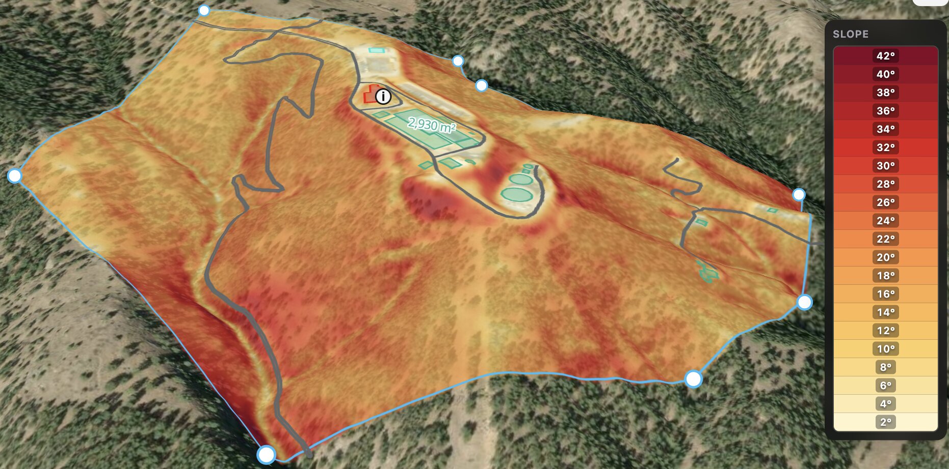
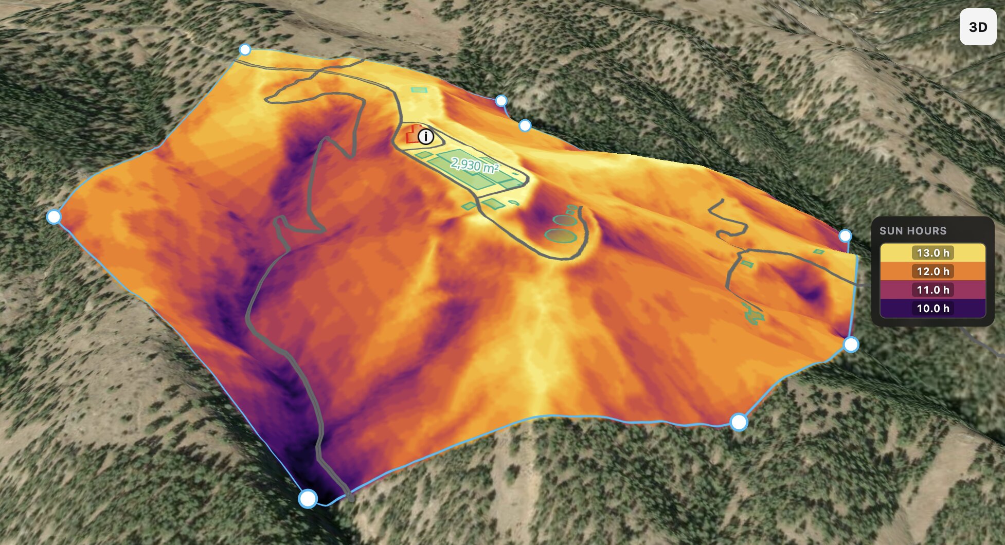
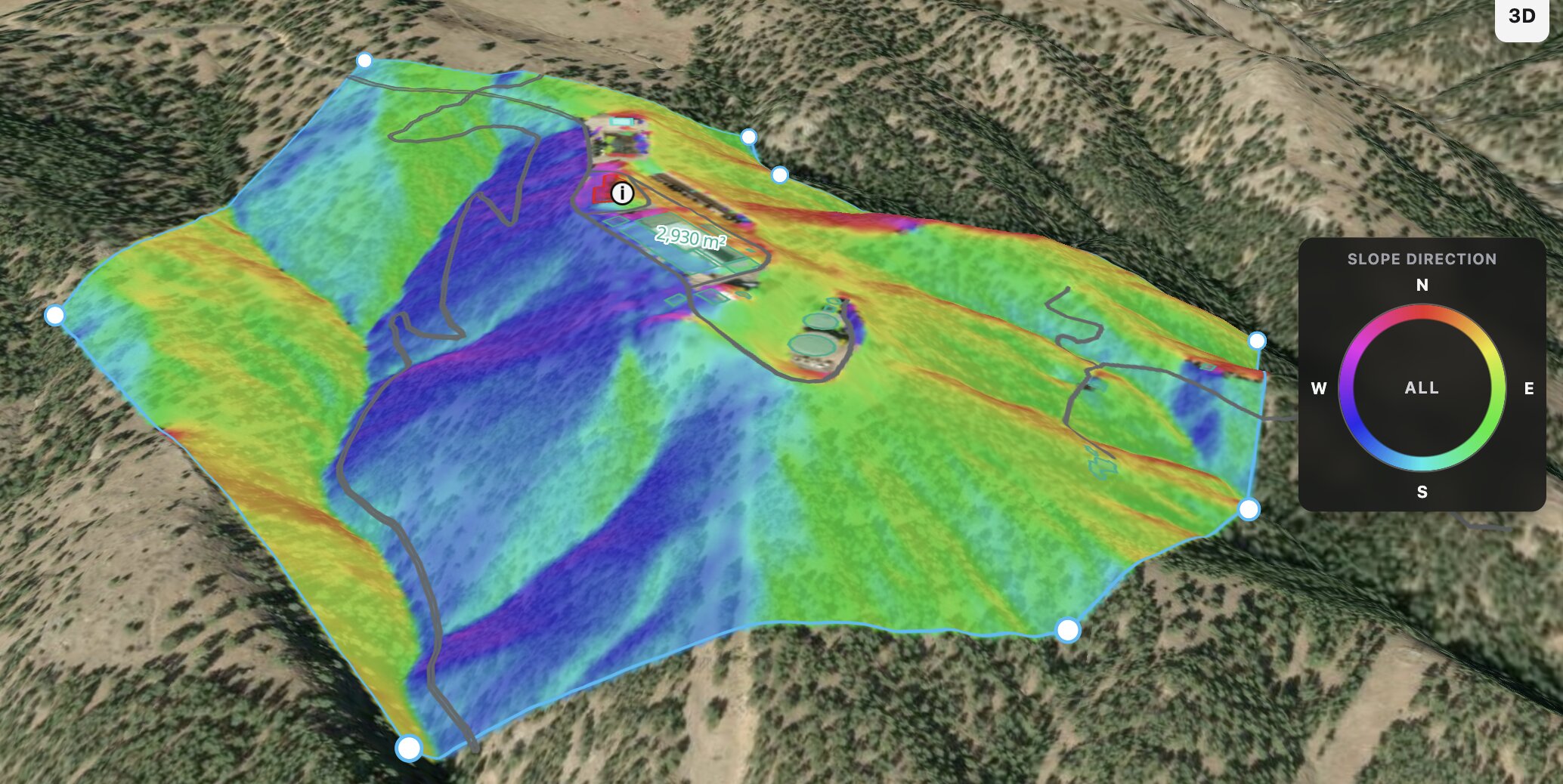
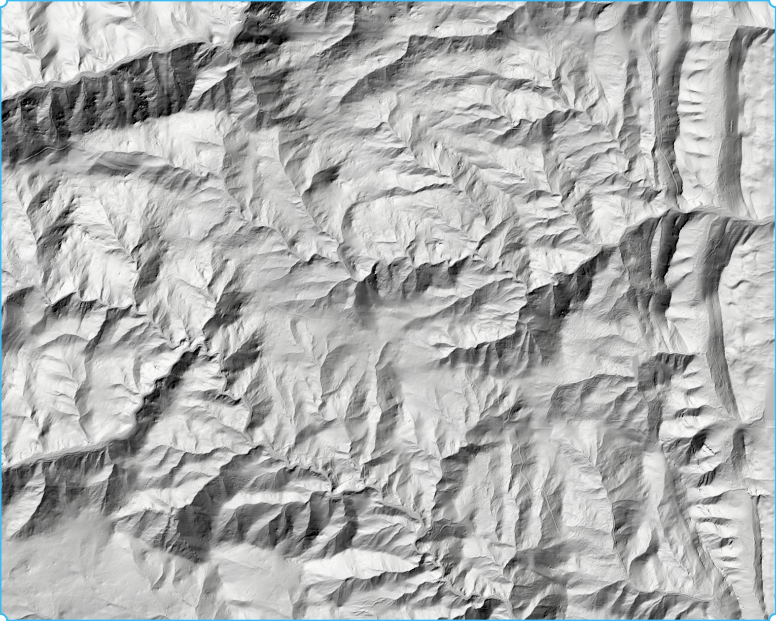
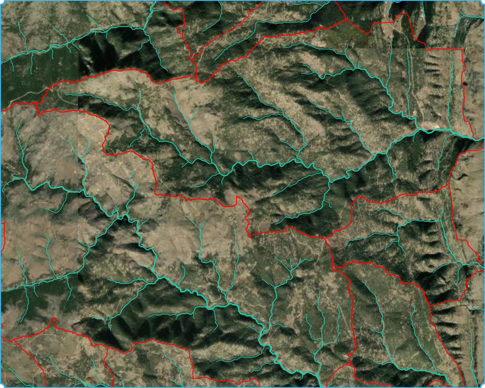
Explore contours, slope, sun exposure, and slope direction.
 topo rabbit
A clearer view of the land
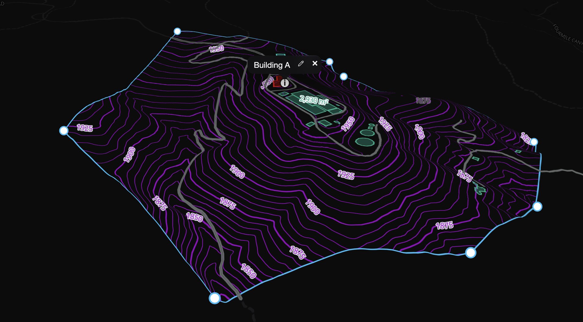
Explore contours, slope, sun exposure, and slope direction.
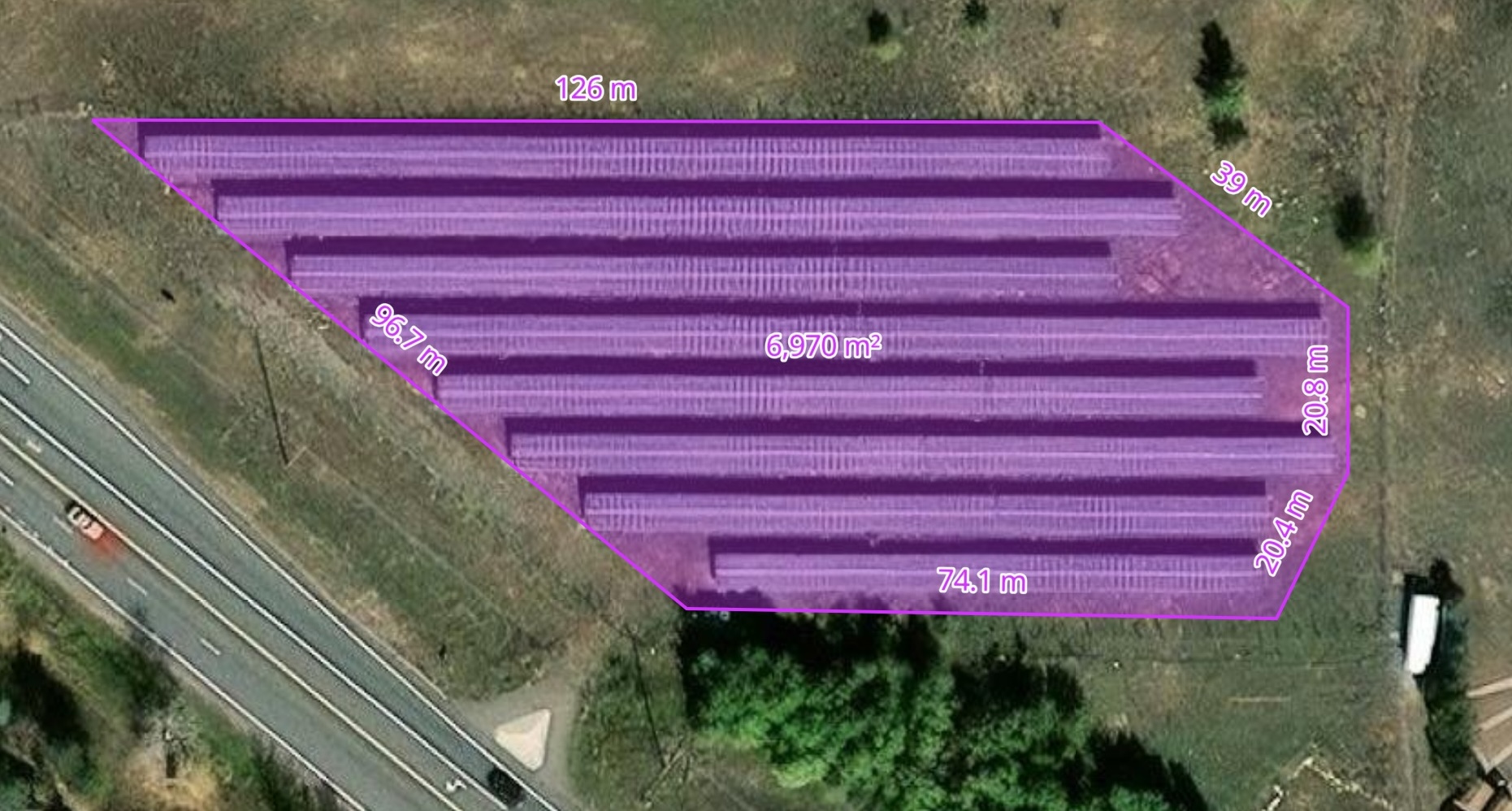
Measure, draw, and annotate. Export a map for your next report.
Share interactive maps and invite others to view or edit your project.
From a place to a possibility